
How We Use Google Maps to Find Lot Lines When Visiting Vacant Land
You pull up to a vacant lot.
There’s grass. Trees. Maybe a dirt road.
And then you realize something pretty quickly:
Where exactly does the property start... and where does it end?
Unlike a house with a fence, driveway, or obvious yard, vacant land usually doesn’t come with a big sign saying, “YOUR LOT STOPS HERE.”
We run into this all the time when checking out properties.
So in the video below, we wanted to show a simple trick we use when we’re physically standing at a lot and want to get a better feel for its boundaries.
All you really need is your phone, the property’s location pin, and Google Maps.
First, Get the Exact Property Pin
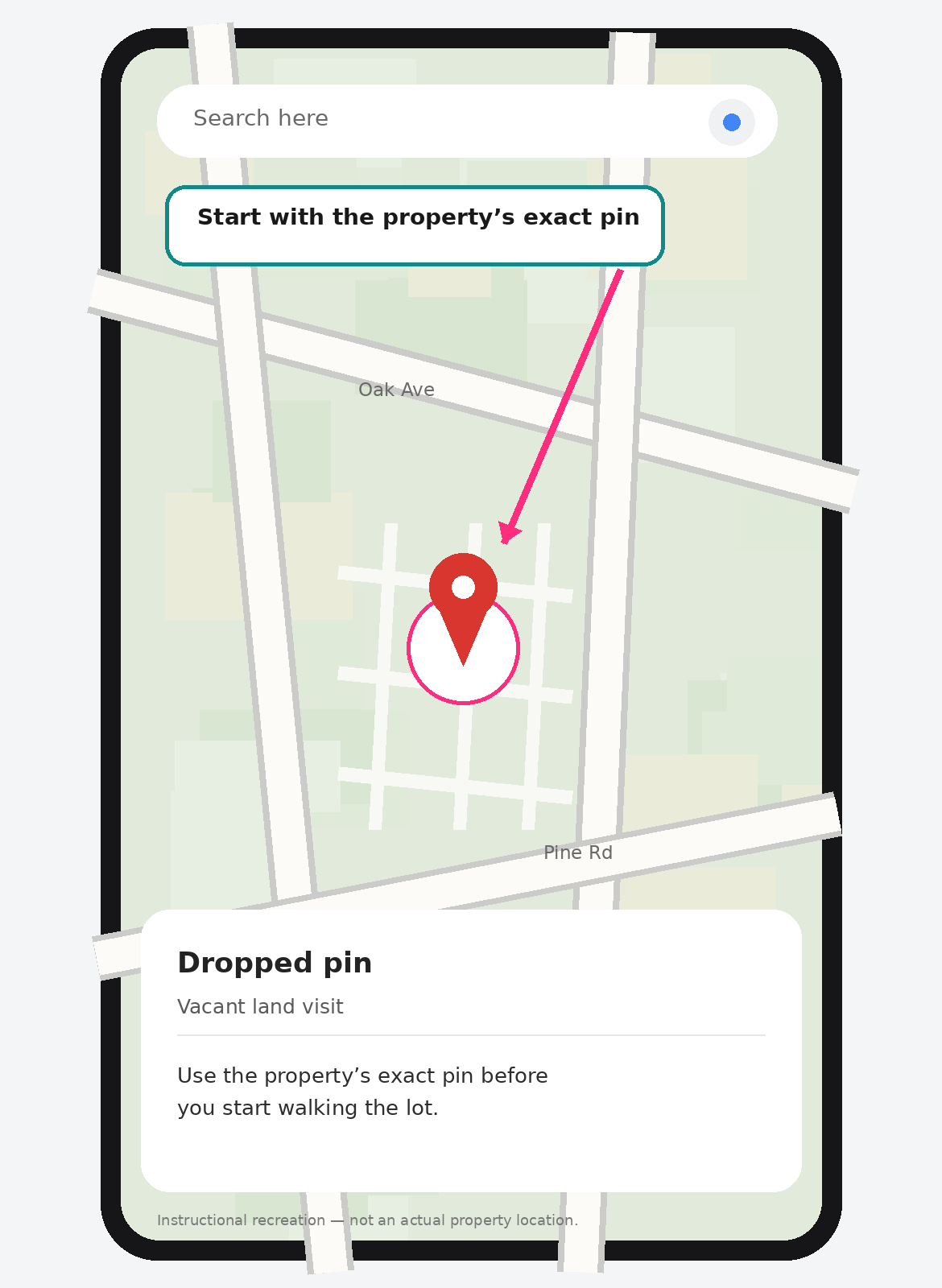
Before heading out, make sure you have the Google Maps pin for the property you’re visiting.
This is especially important with vacant land because there may not be a normal street address to type into your phone. Most vacant lots actually do not have numerical addresses (at least in more rural counties, so the pin will be your best bet!)
A pin will get you to the right spot.
Once you arrive, open the pin in Google Maps and make sure your phone’s location is turned on. You should see the little blue dot showing where you’re standing.
That blue dot is what makes this useful when you start walking around.
Switch Google Maps From Satellite to Default View
This is the part a lot of people miss.
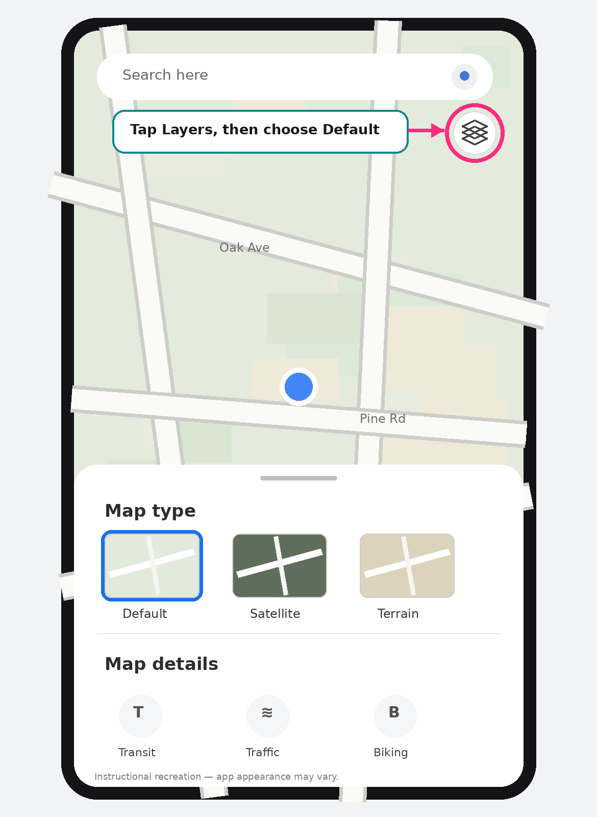
Satellite view is great for seeing trees, roads, houses, clearings, and what the area actually looks like.
But when we’re trying to get a feel for the lot itself, we’ll also check the Default map view, so we can see the parcel lines, not just the terrain.
Here’s what we do:
Open the property in Google Maps.
Tap the Layers icon.
Change the map type from Satellite to Default.
Zoom in closely around the property.
Depending on the area, you may see thin parcel outlines appear on the map.
In the property we used for our video, those lines matched up closely with the lot shown on the plat, which gave us a handy reference point while we were walking around.
Now Walk the Property With the Map Open
This is where it gets useful.
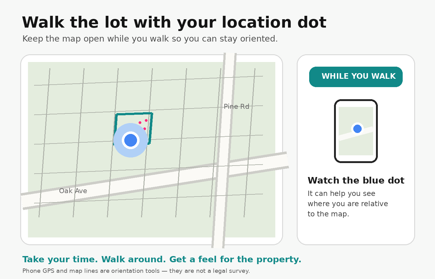
Keep Google Maps open as you walk around the lot.
Your blue location dot moves with you, so you can watch roughly where you are in relation to the parcel shown on the screen.
Walk slowly.
Look around.
Get a feel for the width of the property, how deep it goes, where the road frontage is, and what the land actually feels like when you’re standing on it.
It’s surprisingly easy to look at a quarter-acre lot on a computer and think you understand the size.
Walking it is different.
Suddenly the little rectangle on the screen becomes an actual piece of ground.
Open the property appraisers map too
If we have a plat available, we like comparing that with what we’re seeing on the map.
A plat can help you understand things like:
which numbered lot you’re looking at
the general shape of the parcel
neighboring lots
road frontage
recorded dimensions when shown
In our video, we pull up the plat alongside the map so we can make sure we’re looking at the correct lot before walking it.
That extra check takes about a minute and can save a lot of confusion.
One Important Thing: Google Maps Is Not a Survey
This trick is great for getting oriented.
It is not how you legally establish a property boundary.
Parcel or property-boundary information is not guaranteed to appear everywhere in Google Maps. Google says parcel data can be provided to Maps, but it is not actively added universally.
So if a line doesn’t appear on your phone, that doesn’t mean the parcel has no defined boundary. And if a line does appear, don’t use your phone to decide exactly where to put a fence, driveway, home, shed, or other improvement.
In Florida, establishing or reestablishing real-property boundary locations falls within professional surveying and mapping work.
For a legal or precise property line, a professional survey is the right tool.
Think of the Google Maps method more like this:
“Okay, I’m standing in approximately the right place, and now I can understand how this lot lays out.”
That’s what we use it for.
Don’t Rush Your Property Visit
If you’re making the drive to see land in person, spend a little time there.
Walk it.
Look at the road.
Look at the neighboring properties.
Pull up the map.
Compare it to the plat.
And just get a feel for the place.
Vacant land can be surprisingly hard to understand from listing photos alone. Visiting the property turns all those maps, measurements, and aerial images into something real.
And if you’re looking at one of our properties and you’re not sure where to start, ask us. If you are out at a property and have questions, give us a call! 727-537-9537
Want to see what land we currently have available?
Check out our current properties at ParadiseParcels.com, or message us if you have questions about a specific lot.
Sometimes finding your piece of Florida starts with something as simple as following the little blue dot.